Why is it that the most out-of-shape person in Greenbelt insists on doing so many outdoor activities? This is what I thought to myself as I lay on my bed for five straight hours Sunday afternoon, unable to move, staring mournfully at the ceiling. Occasionally I’d yell for Dan, saying things like “errrggghhhh” and “uggggggh,” because is it really suffering if you don’t have someone to share it with?
When the Greenbelt News Review suggested I try orienteering for an article, I jumped at the chance. I mean basically orienteering is wandering around in the woods, pretending you understand your compass, hoping you won’t die, and I do that pretty much every day of my life. Doing it yet again for the News Review seemed a natural fit. Plus, I had totally orienteered before, back when I was in fifth grade and the teacher gave us all compasses and maps and had us run around the field for 30 minutes one afternoon. Surely the skills learned on the completely flat, barren field behind Parkview Elementary School in Sicamous, British Columbia, 35 years ago are applicable to any orienteering course on the globe. Right?
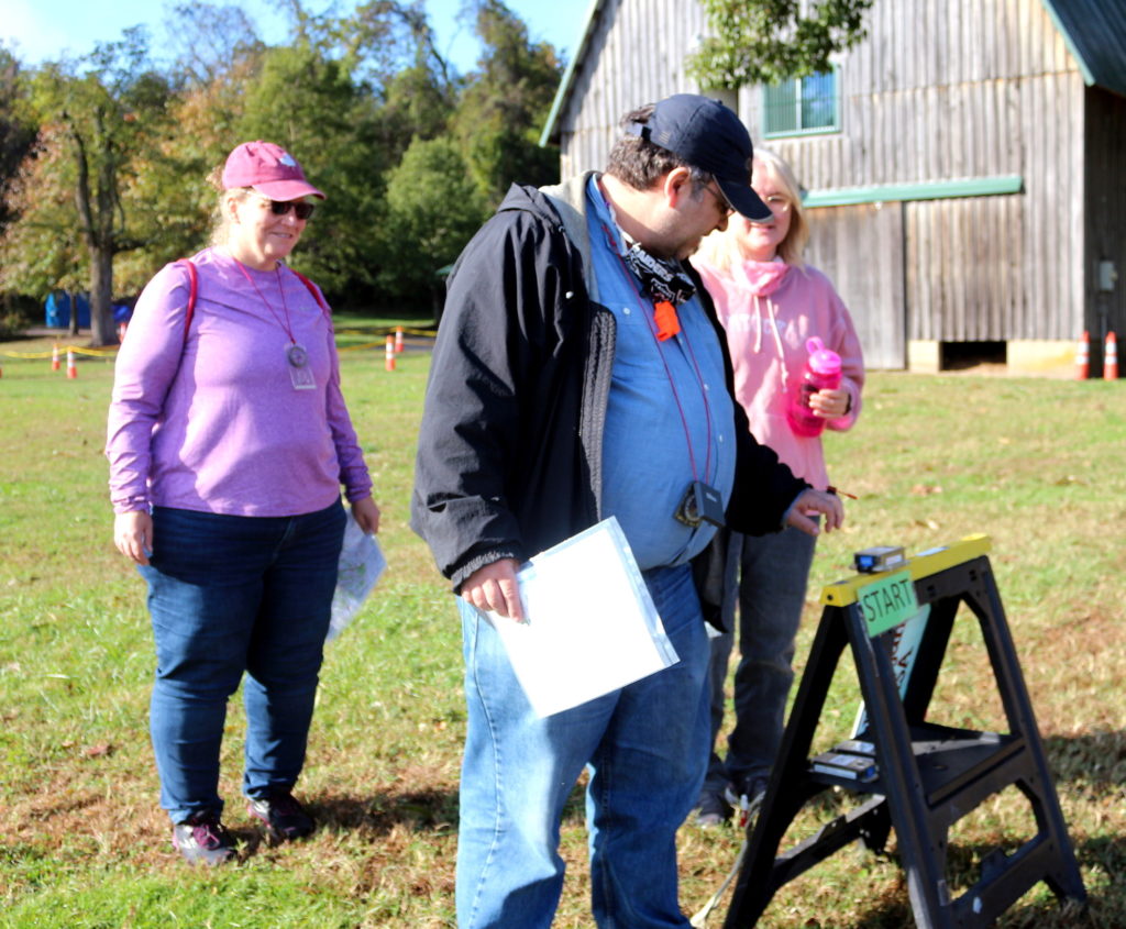
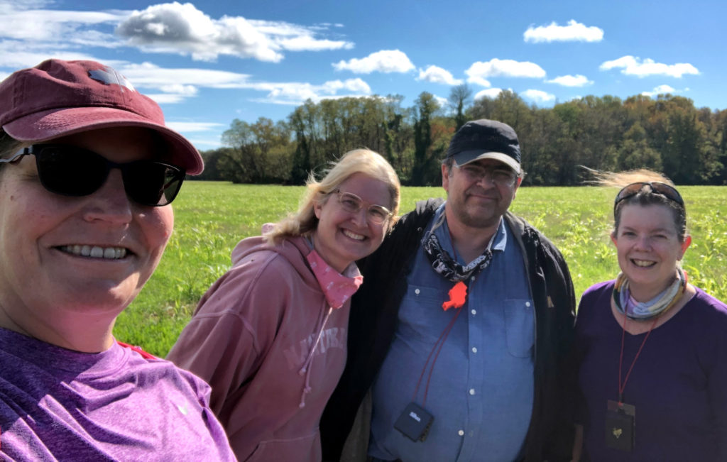
As it happens, I’ve known legendary Greenbelt orienteerer and Quantico Orienteering Club member David Alexander for many years, so I sent him an email to see if he’d let me tag along with him to an upcoming event. The club had one scheduled at Patuxent River Park on October 31, and we joined up as a team of four: David, his wife Rachel, me and Amy Hansen, another longtime buddy.
As we drove to Upper Marlboro, David provided some basic instruction in what orienteering maps look like, including that the north indicated on orienteering maps is magnetic north, not true north, delightful news which meant we could trust our compasses. I, of course, don’t have a compass but David and Rachel have plenty and lent me one for the day. As David reviewed with us how to use them before we started, I ran into a little user error.
“Mine doesn’t work,” I said.
“Hold it flat,” David explained. I held it flat. Then I held it flatter, and lo and behold, it did indeed work. I could hear David telling Amy something about numbers and a dial, so I interrupted again.
“Mine doesn’t have numbers,” I said.
There was, perhaps, a gentle sigh from David’s direction. “Turn it over.”
“Oh.” I turned it over. “Hey! There are numbers!”
If I had to summarize orienteering, I would say that it is running (or, in our case, ambling) through the woods, using a map and a compass for guidance, to get to set stations, called controls, in the right order and to complete the course. Orienteering events like the one we did have multiple courses at different levels so participants can choose the difficulty that is best for them. David signed us up for the yellow course, the second easiest, which would cover a distance of just over three kilometers, about which I felt no small relief. I wasn’t sure I had a 10-mile day in me, but three kilometers? I could definitely walk three kilometers (1.86 miles).
The basic tricks to orienteering are to know how to read an orienteering map and how to use a compass. Orienteering maps notably contain contour lines, which are a great way to figure out into what hellish gully you are about to wander and, more importantly, help you identify land features by which to orient yourself. The compass has a bunch of numbers on it, which, given that I’ve just looked this up on Google, I can tell you are called “degrees.” By figuring out where north is, you can then figure out what direction – which degree – you need to head toward to get to the next control.
The four of us strolled along through the woods, occasionally on a path, occasionally over branches, brambles, logs and other of nature’s detritus and sometimes walking face-first into spiders’ webs, which given that it was Halloween, seemed ghastly appropriate. We got slightly lost when I ill-advisedly declared that now was definitely the time to veer into the woods “in that direction” and I must have sounded confident enough that everyone believed me.
“That could have been bad,” David said, after 20 minutes when we’d finally found our way again, although he actually said something entirely different that is unprintable in the News Review.
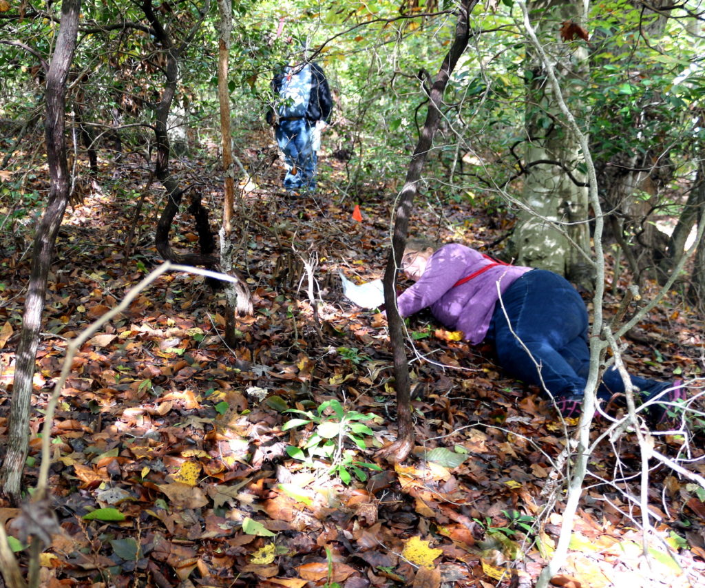
“Happy to help,” I said. From then on, I kept my good ideas to myself, which meant we finished the course quite a lot faster than we might otherwise have done. And it’s a good thing; by the time we were done my pace could only be described as plodding. It took us two-and-a-half hours to complete that three-kilometer route. I only fell once, when I did an actual face-plant, but as I face-planted into wet leaves and spongy undergrowth I bounced right back up again. Bounced metaphorically.
“What part of orienteering is that?” my sister wondered, when I told her I’d done a face-plant and sent her a picture Amy had taken to mark the occasion (after ensuring I was all right, of course). “Are you looking for animal tracks, ground-water levels, or moss patterns? I don’t remember this part from Girl Guides.”
It turns out orienteering is a fantastically good time. Amy described it as both a physical and a mental challenge and while that indicates it is in no way a sport I should ever do on my own, it is also a pretty much perfect description. We passed other people in the woods and to a one, they were friendly and good-natured. David and Rachel were gentle, encouraging, informative hosts, keeping us safe and on the right track. I loved it so much I asked David if I could join him again, and I have plans to do Quantico Orienteering Club’s January 2 event in Greenbelt Park. I figure by then I will have recovered enough from this event that I will be able to get off my bed and try another one. After all, now that I know how to use a compass, what could possibly go wrong?
To learn more about orienteering and the Quantico Orienteering Club, visit: qocweb.org. Register for the Greenbelt Park event on January 2 here: qocweb.org/events/2022/1/2/greenbelt.
