Additional details are now available about the impact of the proposed widening of the Capital Beltway (I-495) and I-270. The Federal Highway Administration (FHWA) and the Maryland Department of Transportation State Highway Administration (SHA) have released their Draft Environmental Impact Study (DEIS) and the Joint Federal/State Application (JPA) for the alteration of any floodplains or wetlands, and have begun virtual and in-person public hearings on the documents (details at the end of this article).
Comments may be submitted through Thursday, October 8 but those wishing to comment should not wait until the last minute. The executive summary of these reports is 21 pages. The DEIS is 353 pages and the JPA is even longer.
At its August 10 regular meeting the Greenbelt City Council was briefed on the DEIS by
Molly Porter of the city’s Department of Planning and Community Development, who recently achieved Certified City Planner status. Staff will continue to review the document and will prepare comments to council for approval.
DEIS
The DEIS identifies seven alternatives including no build. The six build alternatives include various mixtures of express toll lanes, managed lanes and high-occupancy vehicle lanes.
Porter noted that the earlier transit alternatives are off the table. Instead, the plan now is to allow buses free use of the managed lanes and accommodation of direct and indirect connections to transit stations.
Porter noted that the city has consistently advocated against widening the Capital Beltway due to the significant impact the project would have on “natural, socioeconomic, cultural and built environments.” Instead, the city has urged the state to study alternative congestion relief packages including increased funding for transit and other alternative modes of transportation.
All of the study alternatives, save no build, call for a dynamic tolling approach where tolls would be adjusted based upon traffic conditions to ensure that speeds on the managed lanes remain at or above 45 miles per hour and that maximum volumes are not exceeded in those lanes. While the toll rates have not yet been set, the DEIS estimates that tolls would range between $0.68 and $0.77 per mile.
Porter noted some changes that have occurred since the project was initially proposed. The project is envisioned as a public-private partnership, where private entities would build and operate the new lanes. Although initial claims about the project were that the private sector would fund the full cost at no expense to taxpayers, that is no longer true.
The Washington Suburban Sanitary Commission (WSSC) now estimates that it would cost $1.3 to $2 billion to move infrastructure affected by the roadwork. This cost would be borne by ratepayers.
The DEIS also indicates that a state subsidy of $482 million to $1.08 billion would be needed, most likely to be paid at the beginning of the project.
The agencies responsible for the Managed Lanes study are the FHWA and the SHA.
Wetlands
The JPA pertains to the requirements of the National Environmental Policy Act (NEPA), which prohibits use of “publicly owned lands of a public park, recreation area or wildlife and waterfowl refuge of national, state or local significance or land of an historic site of national, state or local significance unless there is no feasible and prudent avoidance alternative.”
Within the study corridor, Porter reports, are 111 such properties. Five are located in Greenbelt: the Greenbelt Historic District, Buddy Attick Park, Indian Springs Park, McDonald Field and Greenbelt Park.
The FHWA intends to apply de minimis impact for all but Greenbelt Park saying that the impact on those properties from the project consist of minor impacts along the edge of the properties in question. The study notes that there will be coordination with the city on the evaluation review of city properties.
Environment
Porter notes the city’s concern, oft repeated, that the planners are ignoring the impact of the project on greenhouse gas (GHG) emissions and air pollution. The DEIS claims that the build alternatives will result in only a “slight increase in GHG emissions” based upon the projection that by 2040 vehicles will be more energy efficient and that the extra lanes will reduce congestion and increase speeds.
Porter notes strong concerns about the impacts on wetlands and waterways in the area during construction. The DEIS finds that 16.1 to 16.5 acres of wetlands and up to 156,984 linear feet of streams could be affected. It would also affect up to 1,515 acres of forest canopy.
While the National Park Service raised the idea of having no direct access to the Baltimore-Washington Parkway, the planners determined that direct access was needed to meet the project’s goals. The ramp from eastbound Greenbelt Road to the southbound Parkway will be realigned. It is estimated that 69.3 acres of the Parkway will be impacted.
Public Hearings
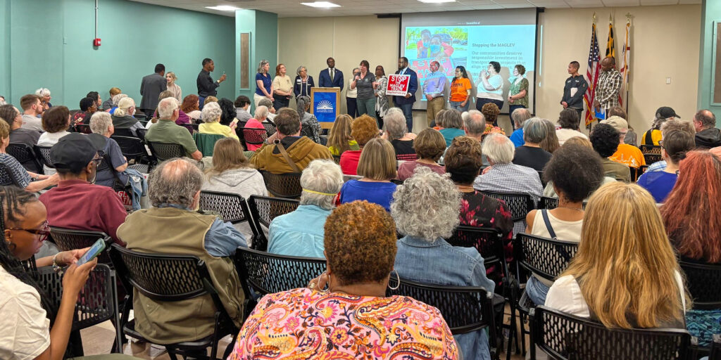
The virtual hearings will be held on Thursday, August 20; Tuesday, August 25; and Thursday, September 3. There will be three sessions each day at 9 a.m. to noon, 1 to 4 p.m. and 5 to 8 p.m. Two in-person meetings are planned for Tuesday, September 1 from noon to 9 p.m. in Largo and Thursday, September 10 in Rockville. Advance registration is required for the in-person meetings by calling 833-858-5960. The official U.S. Army Corps of Engineers hearing will be part of the August 25 hearings. The draft reports as well as details about the meetings and future updates are available online at 495-270-P3.com/deis.
Porter’s report on the DEIS is available on the city’s website as part of the agenda packet for the August 10 meeting (see greenbeltmd.gov/government/city-council/minutes-and-agendas).


